Study on the Mongolian Arc Explains Why the Great Wall of China Has Gaps

For the first time ever, scholars have conducted an analysis of a segment of the Great Wall of China that reaches into Mongolia. Stretched across 405 kilometers (252 mi), this wall, known as the “Mongolian Arc” owing to its curved path, has been the subject of great scrutiny. Positioned in close proximity to the border separating China and Mongolia, it spans from Sukhbaatar Province to Dornod Province in northeastern Mongolia. Despite the extensive fieldwork, its purpose remains unclear – perhaps a defensive fortification as per ancient texts?
Elusive Nature: Scale, Function, and Complexity
“In spite of its scale and complexity, it is unclear when exactly it was built, who built it, and for what purpose… one of the most enigmatic long wall and trench systems in the history of China and Mongolia,” write the study authors. Their study was published in an open access form in the latest edition of the Journal of Field Archaeology.
The Great Wall of China was built, extended and reinforced over a period of around 2000 years. Regarding this section, comprising an earthen wall, a trench, and 34 structures, historical records from the 11th to 13th centuries AD make references to the construction of the wall, although the precise chronology remains elusive at present.
Despite the immense scale of the structure, the study authors note that the “Mongolian Arc” has been notably absent from widespread academic discussions. As a side note, this region experiences harsh winter conditions, with temperatures plummeting to as low as -25 degrees Celsius (-13 degrees Fahrenheit).

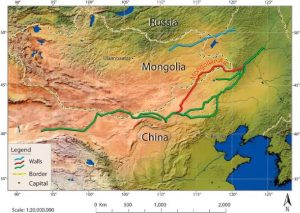
A map outlines three separate wall segments: the Northern Line in blue, the Southern Line in green, and an extended section of the Southern Line in red. The Mongolian Arc corresponds to the red line, extending into Mongolian territory. (Tung Fung, Y., Gantumur, A. et al. 2023/Journal of Field Archaeology)
“One possible explanation for the gaps, which were points of vulnerability in the system, is that the Mongolian Arc was hastily built during the final years of the Jin dynasty as a defense against the expected invading Mongol armies,” write the researchers. The swift Mongol invasion of Jin territories occurred around 1200 AD.
Neolithic Wall is the World’s Oldest Sea Defense System
Repaired With Duct Tape And Bubble Gum? A Section Of The Great Wall Of China Collapses
Getting to the Bottom of the Great Wall
Contrary to the common perception of the Great Wall as a singular structure, the colloquial term ‘wall’ is somewhat misleading. In reality, it denotes an extensive network of defensive fortifications that spans thousands of miles across present-day northern China and southern Mongolia, rather than representing a solitary wall. This intricate network comprises a collection of walls and defensive structures constructed at different times over the span of two millennia.

An image of the Great Wall of China depicting a Great Wall section unrelated to the Mongolian Arc. The Great Wall comprises a complex network of defensive structures, contrary to the perception of a singular long defensive barrier. (Li Ding/Adobe Stock)
The initial segments of the Great Wall were built in the 7th century BC. However, it wasn’t until the 3rd century BC that Qin Shi Huang, the first emperor of a unified China, amalgamated several existing walls into a unified system. This strategic move aimed to fortify the northern borders and safeguard against invasions from the north, reports The Jerusalem Post.
Construction of the Great Wall persisted until the Ming Dynasty, covering the years 1368-1644. The most extensive and well-preserved segments of the wall originate from this era. In contemporary research, particular emphasis has been placed on the sections erected during the Ming Dynasty and the much earlier Han Dynasty (202 BC–220 AD).
Regarding the Mongolian Arc section, the researchers state, “It is not even clear whether the entire array of walls was built at the same time or if, as we now hypothesize, it is an accumulation of different projects built over a long period of time.”
The Mongolian Arc structure is full of large gaps where invaders could gain easy access to the southern lands, which presents the enigma. If it was a defensive structure, why was it built with so many weaknesses?
Reassessing the Purpose of the Mongolian Arc
To get to the bottom of it, researchers employed a multidisciplinary approach, integrating satellite images, Chinese atlases, and Soviet maps with on-site field observations, reports Newsweek. Diverse datasets acquired from both laboratory analyses and fieldwork were processed using a geographic information system (GIS).

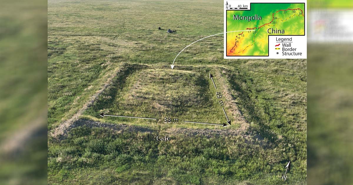
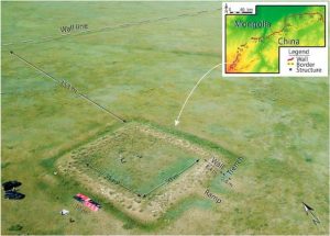
Drone image of one of the wall structures. (Tung Fung, Y., Gantumur, A. et al. 2023/Journal of Field Archaeology)
These findings were juxtaposed with primary sources of the time for a preliminary interpretation of the Mongolian Arc’s design and potential functions. Key focal points include the peculiar gaps along the wall, the spatial arrangement of the wall and accompanying structures, and their interconnectedness with the surrounding landscape.
One proposal for the structure being fairly weakly designed is that it was constructed in a hurry, to deal with the specific threat of Mongol invasion, and so the constructions were built at the points of most danger.
The Great Wall of China Construction Project that Spanned Generations, Centuries and Dynasties
Sticky Rice Mortar Used in Ancient Chinese Architecture
An alternative hypothesis suggests that the Mongolian Arc may not have been designed for military purposes, but associated with regulating the movement of people and their herds, possibly coupled with civilian functions such as taxation. This idea gains support from the observation that the wall did not serve as an effective barrier, with numerous outposts strategically placed in locations that offered limited visibility over the surrounding landscape.

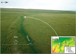
A drone captured an image of a standard wall segment positioned between structures 17 and 18. Measurements conform to the typical dimensions observed at various points along the wall. (Tung Fung, Y., Gantumur, A. et al. 2023/Journal of Field Archaeology)
The researchers are currently strategizing test excavations of both the structures and the wall to gain a more precise understanding of the construction timeline, duration, and intended purpose. In their investigative efforts, they plan to leverage advanced mapping technologies, incorporating sophisticated photography capable of capturing multiple wavelengths of light